GIS 581 : SPATIAL BUSINESS ANALYSIS
EXERCISE # 4 PROJECT 4
Student : Sushmita Goswami Professor : Sergei Andronikov
Submission Date : 08/22/2016
Student : Sushmita Goswami Professor : Sergei Andronikov
Submission Date : 08/22/2016
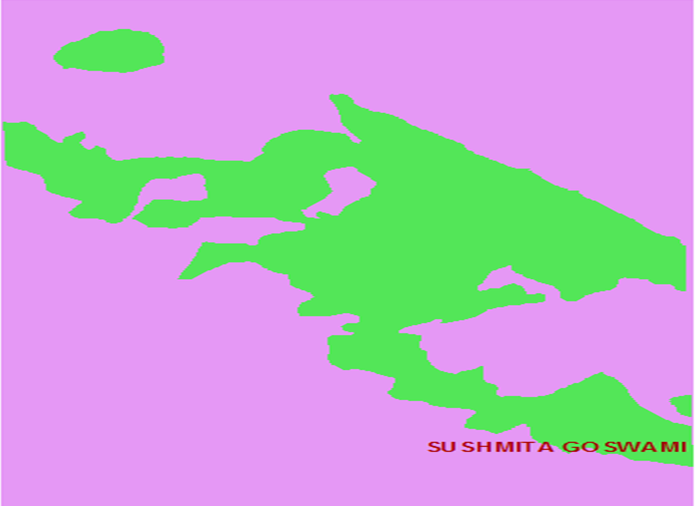
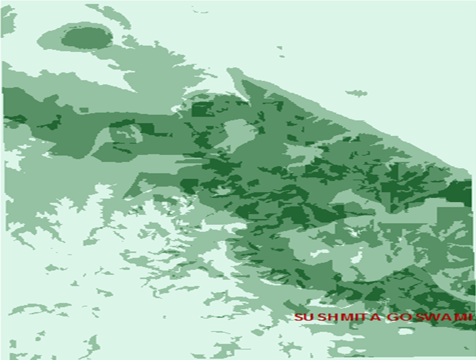
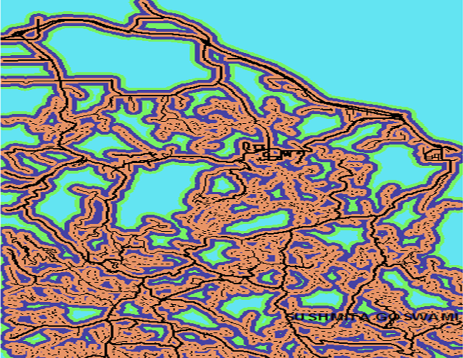
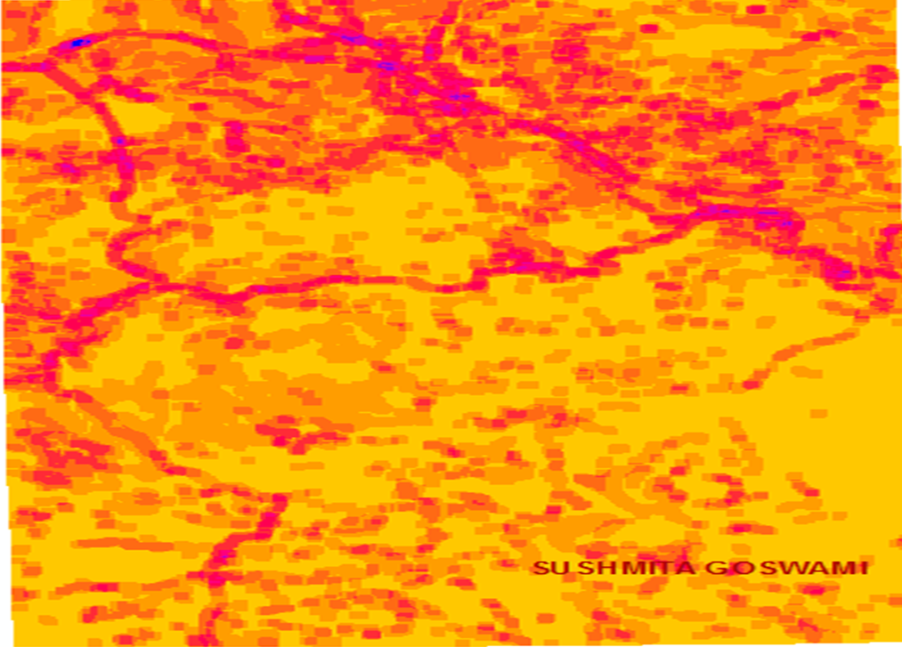
Map 1.) Snail habitat determined by Vector Analysis. Elevation -
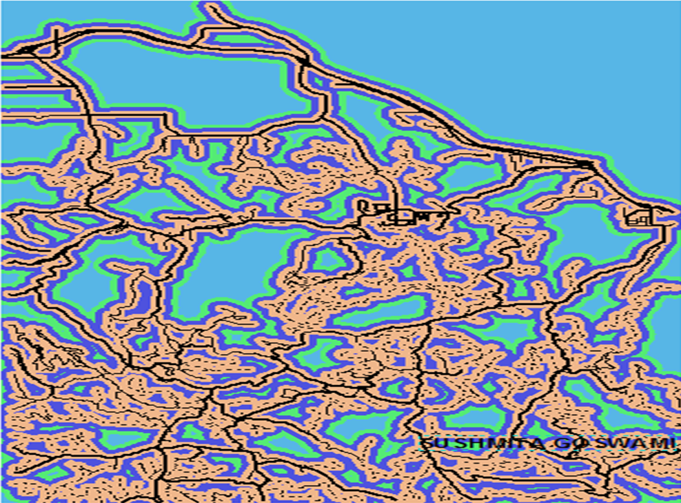
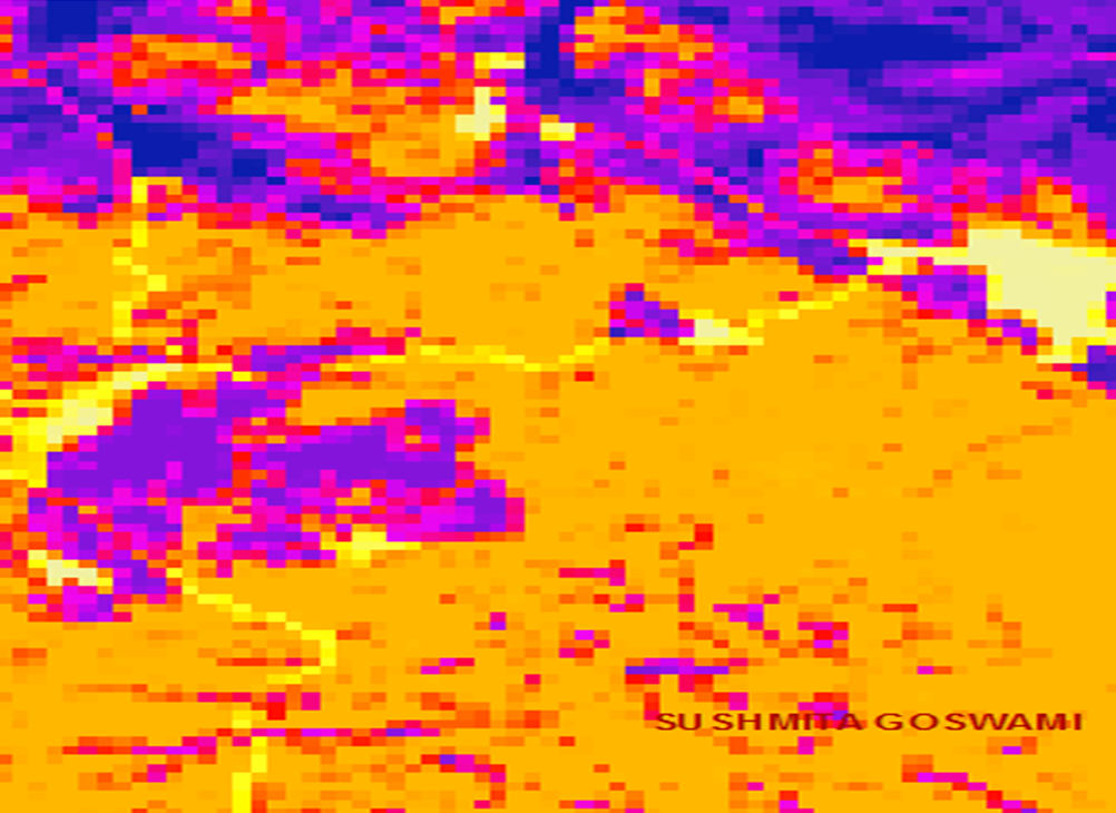
Map 2.) Boolean Elevation Rang. Elevrange -
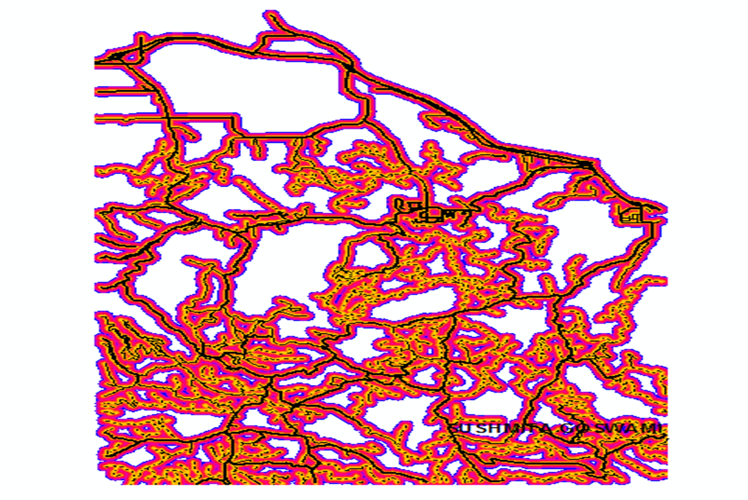
Map 3.) Geolraster -
Map 4.) Limestone
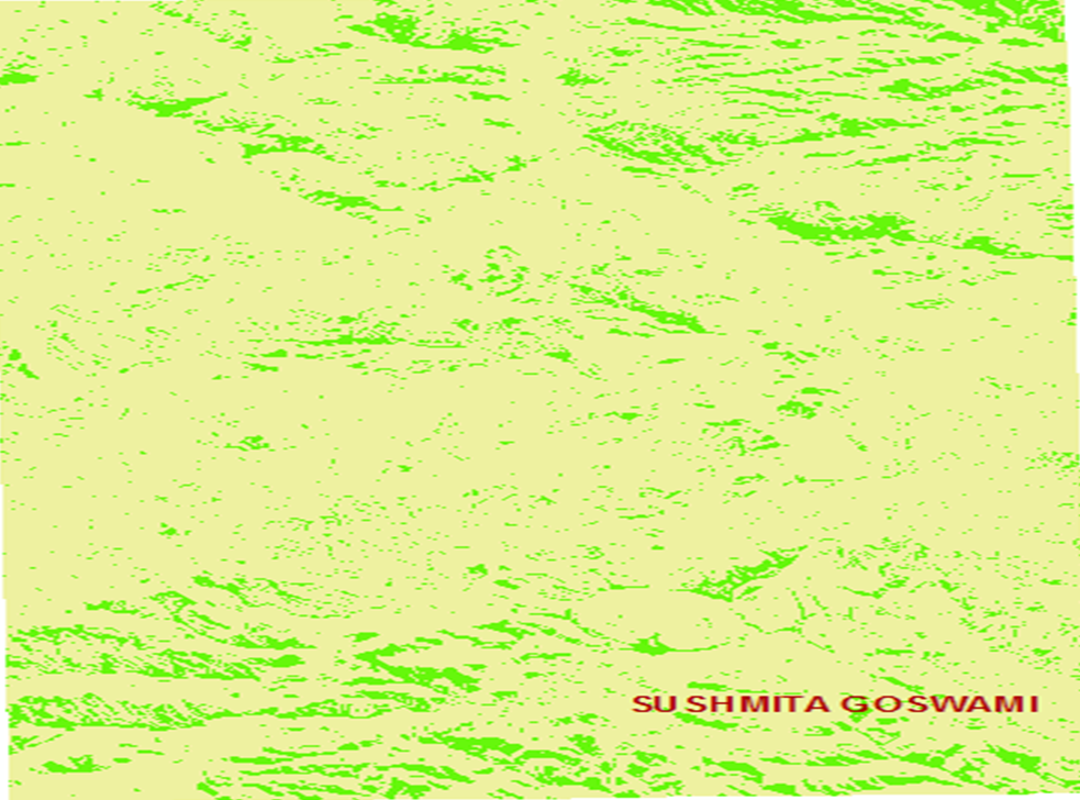
Map 5.) Boolen Raster showing areas of dense conifers. Density-
Map 6.) Trees
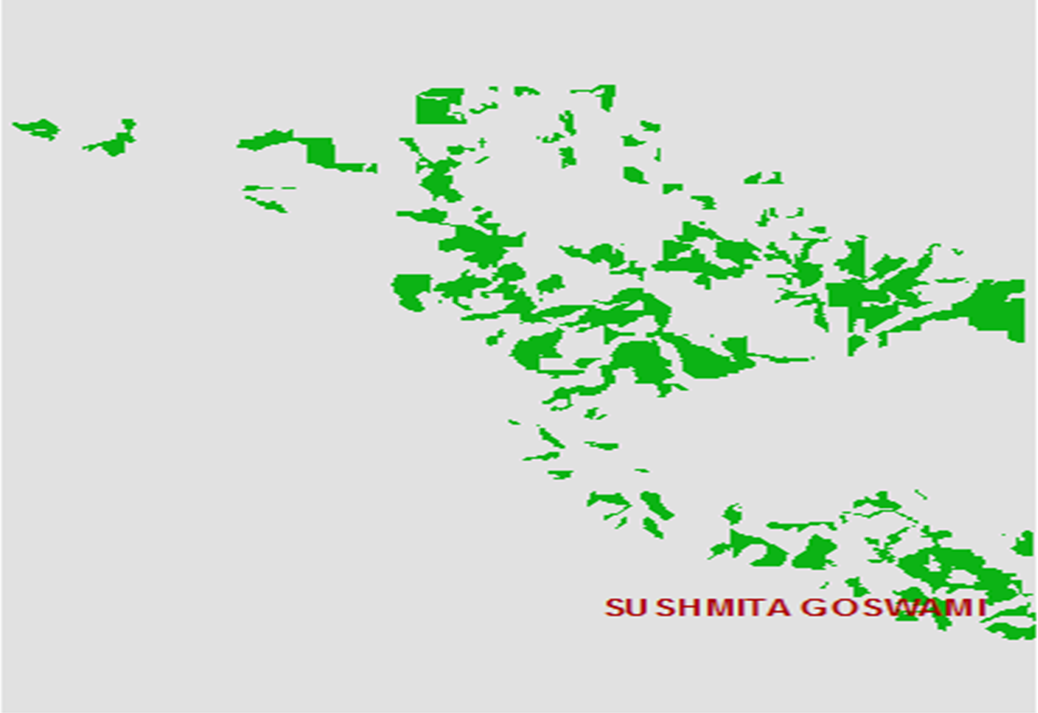
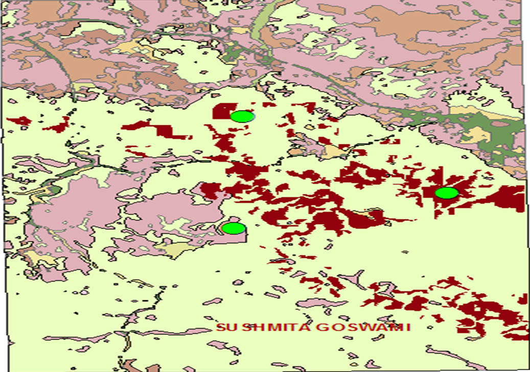
Map 7.) Snail Habitat Raster. Snailhab-
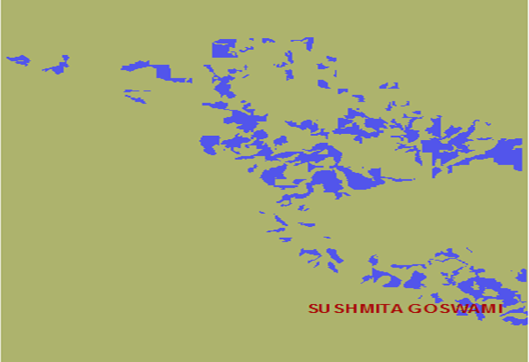
Map 8.) Ranked Habitat Raster. Snailhabrank-
Map 9.) Distance Functions and Buffer. Roaddist-
Map 10.) Roaddir-
Map 11.) Boolean Road Buffers. Roadbuf300-
Map 11.) Boolean Road Buffers. Roadbuf300-
Map 12.) Reclass_road1
Map 13.) Ringbuf200
Map 14.) Disthabitat-
Map 15.) Mindist-
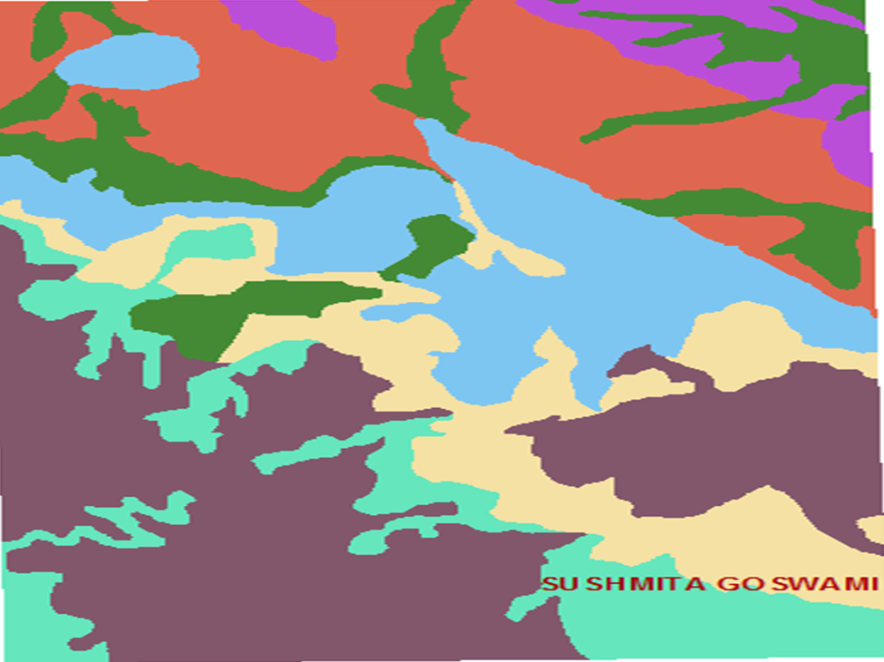
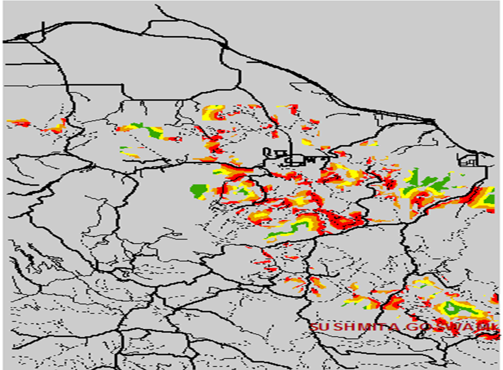
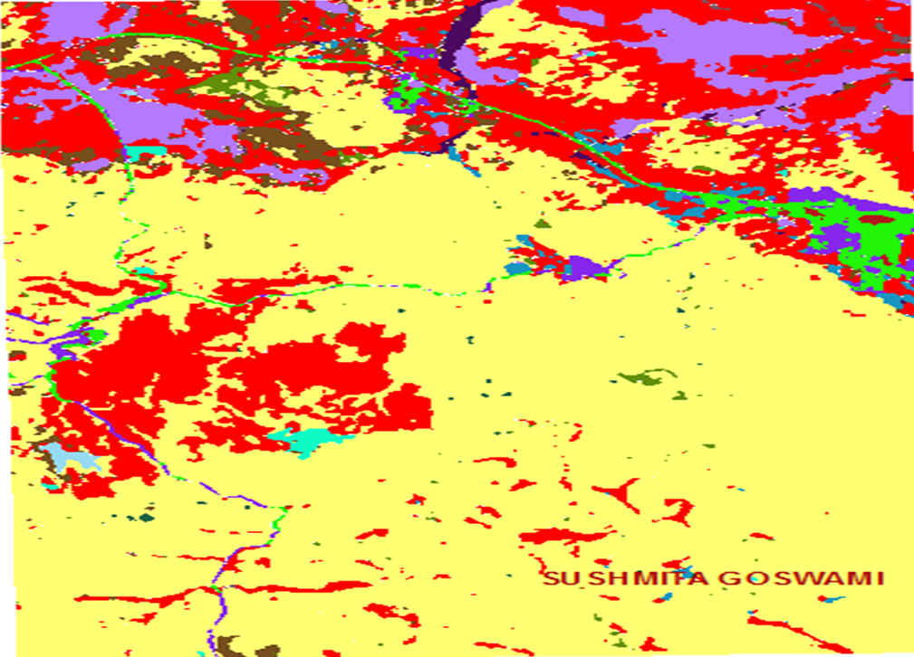
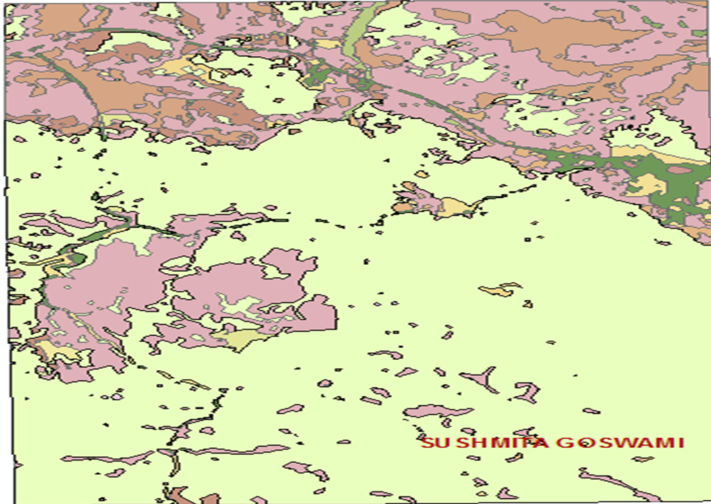
Map 16.) Geology-
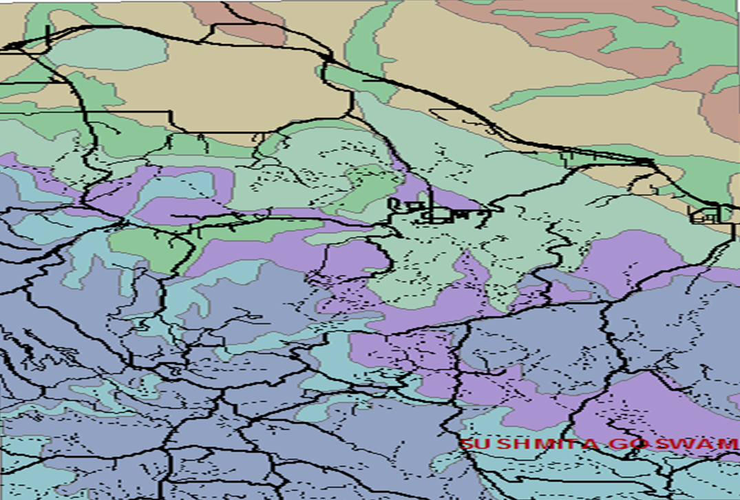
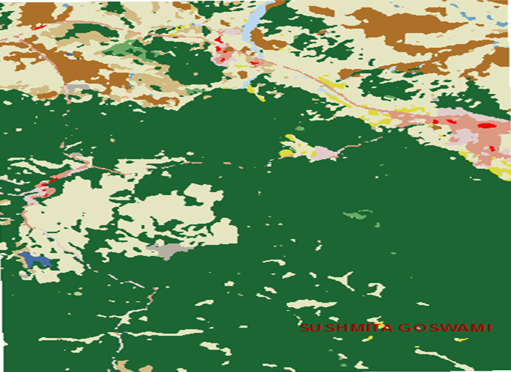
Map 17.) Vegetation-
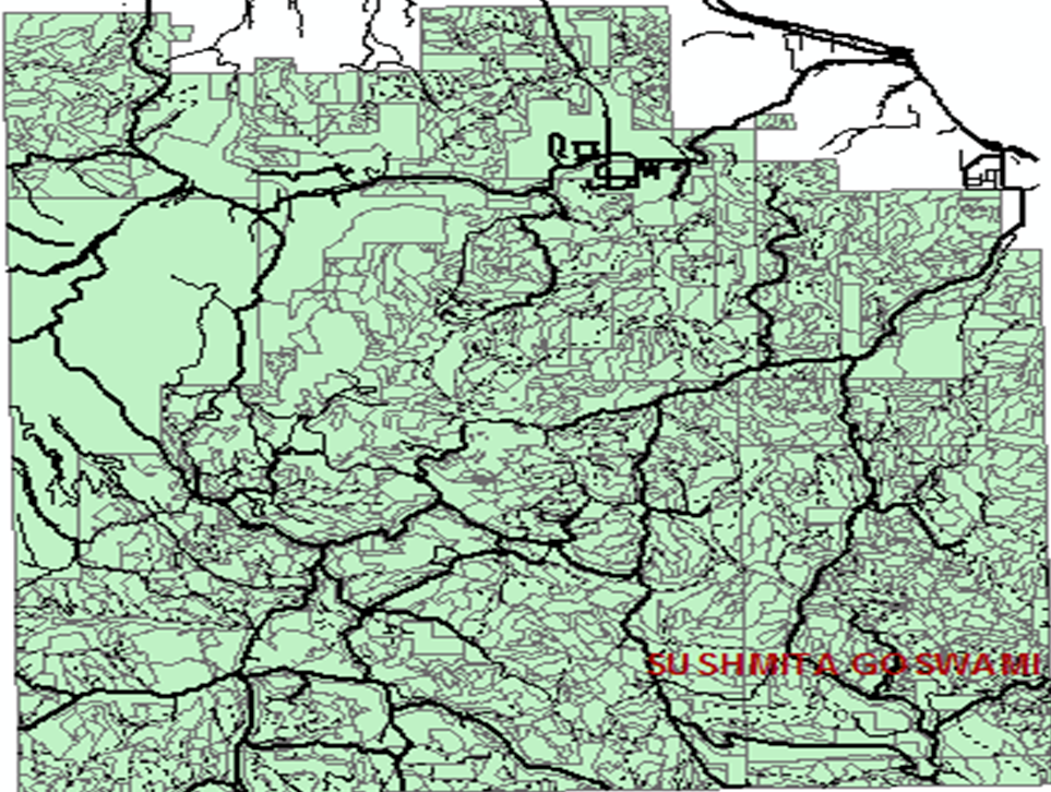
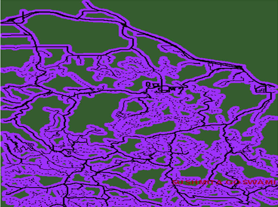
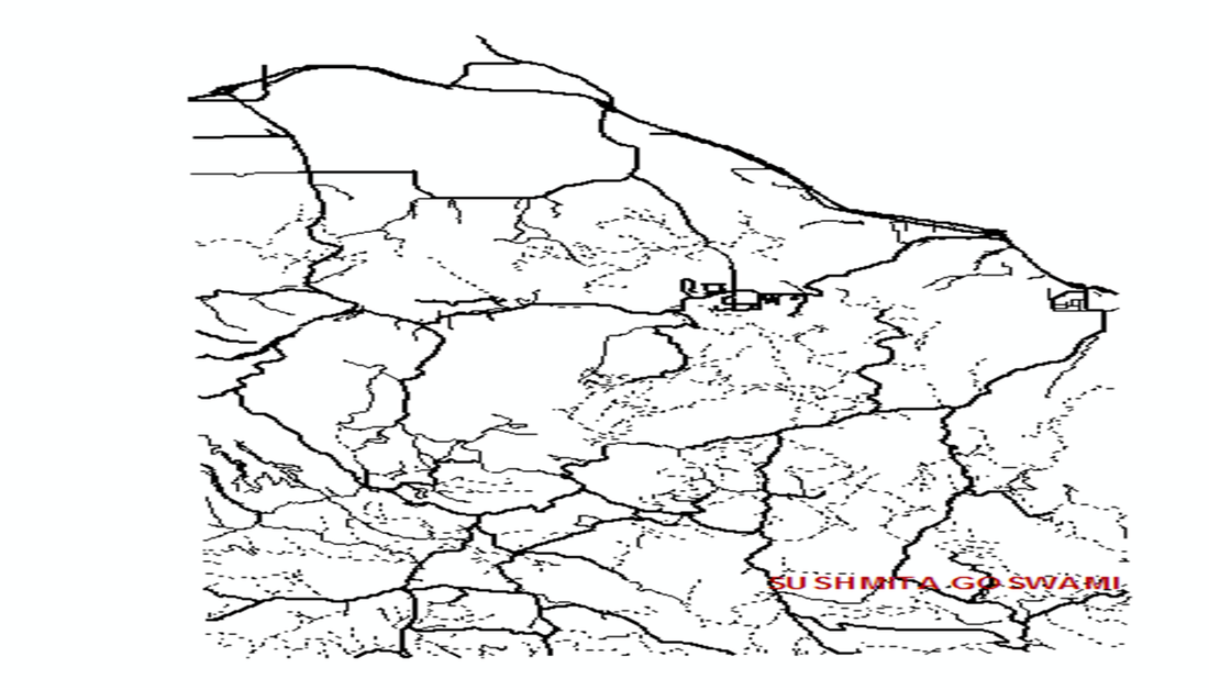
Map 18.) Roads-
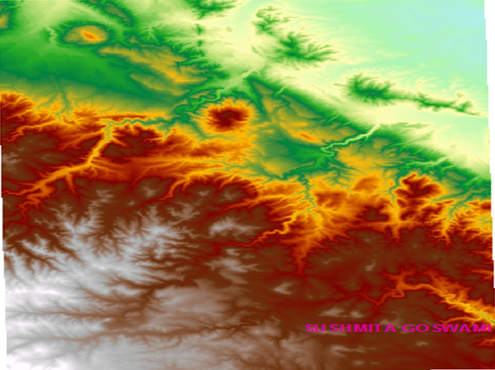
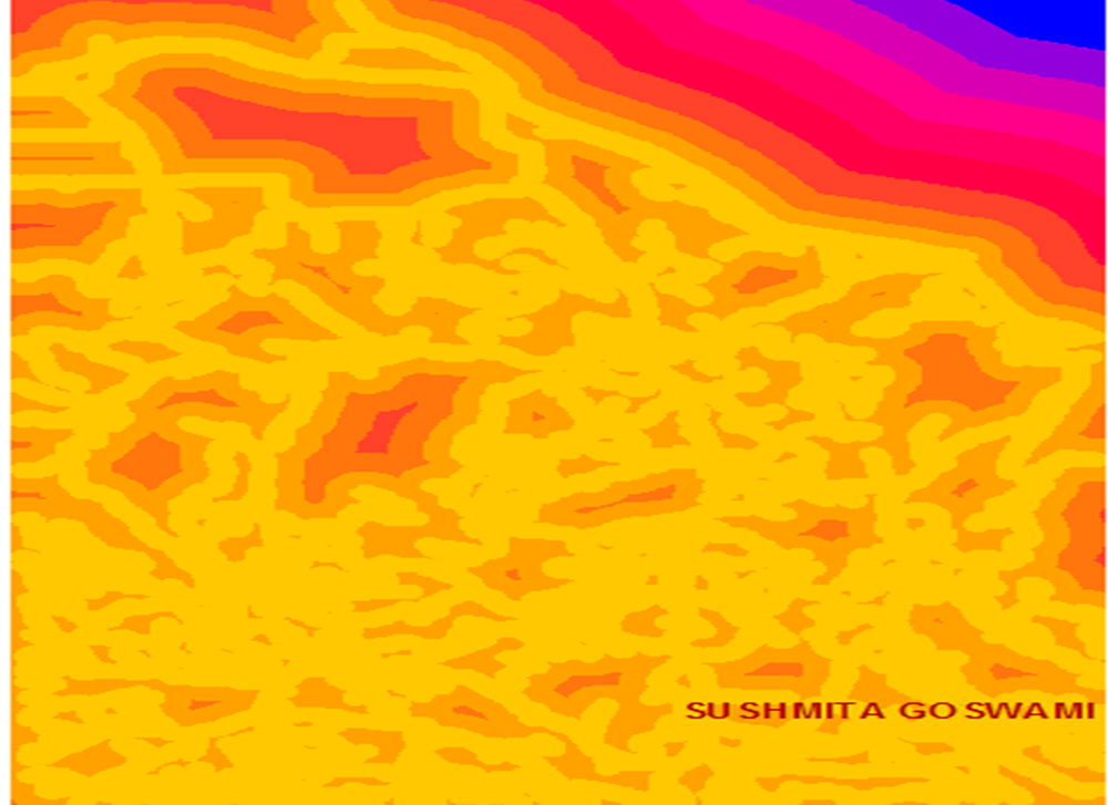
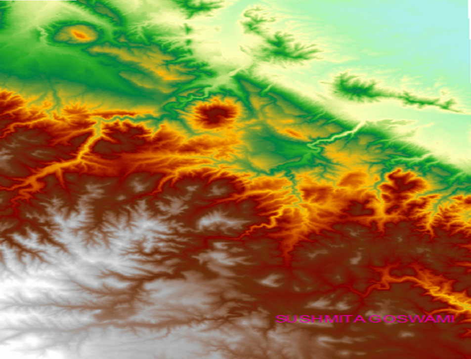
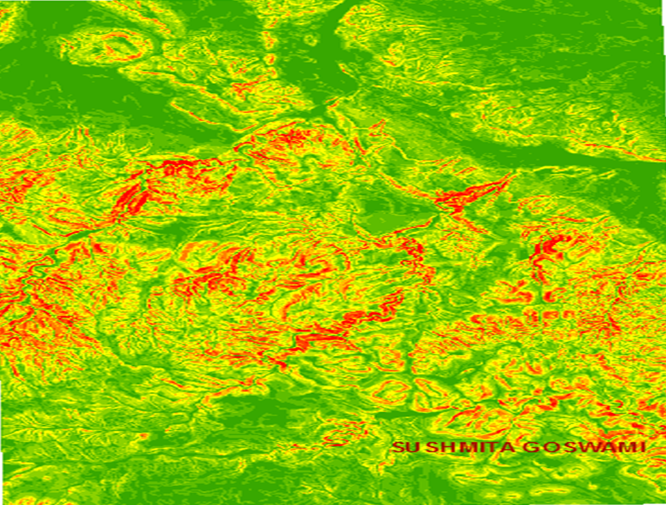
Map 19.) Topographic Functions. topo30m-
Map 20.) slope30m-
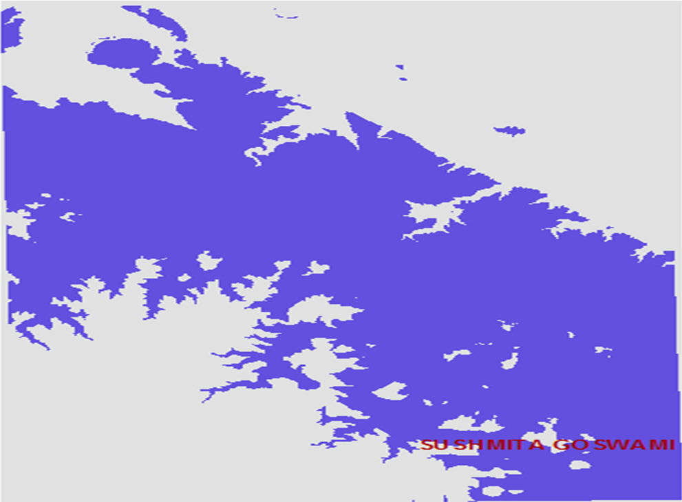
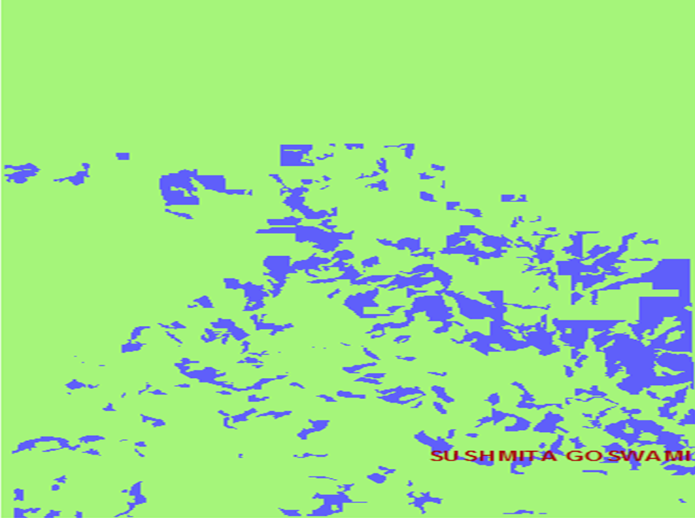
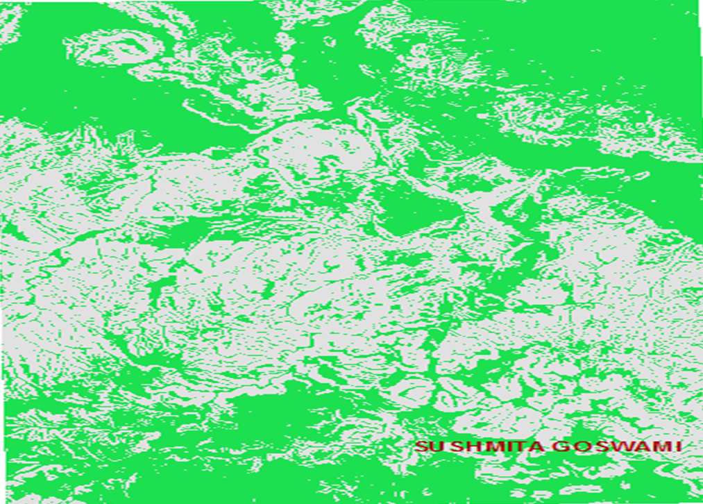
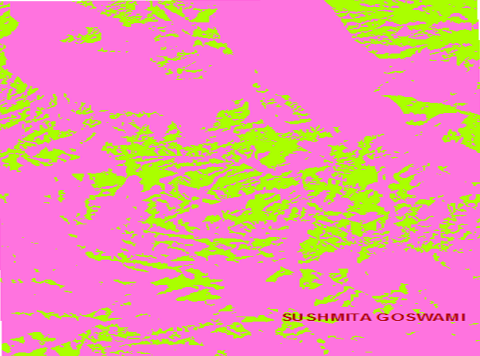
Map 21.) lowslope-
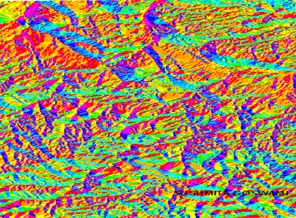
Map 22.) Aspect30m-
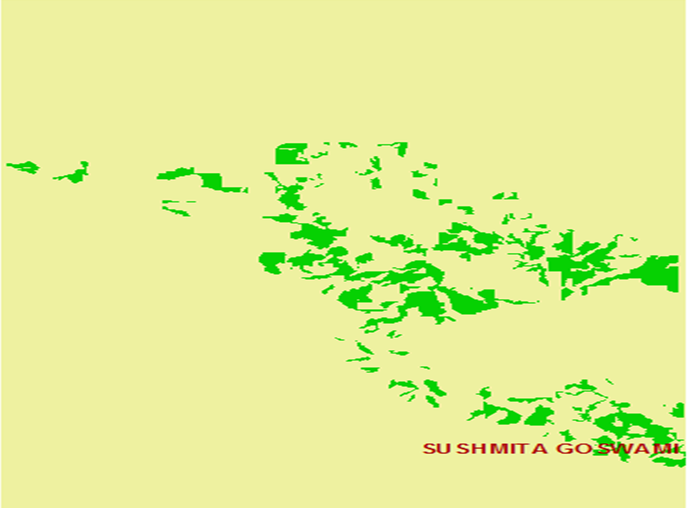
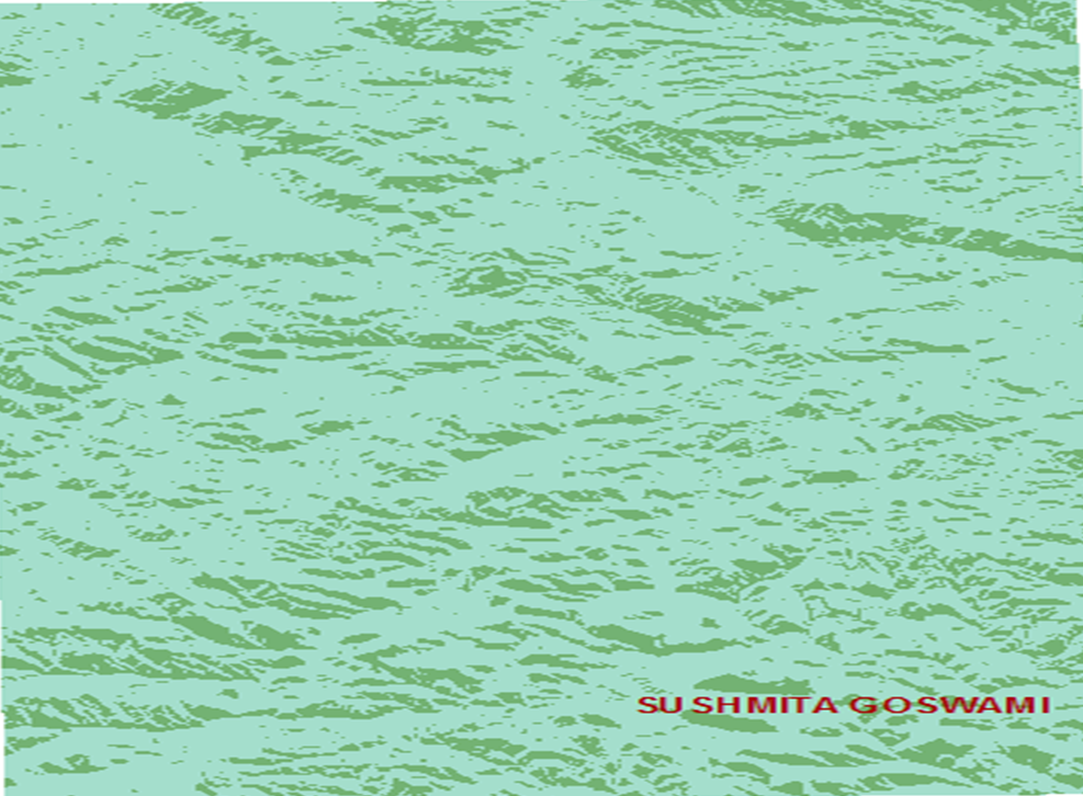
Map 23.) Southerly-
Map 24.) Cabinsites-
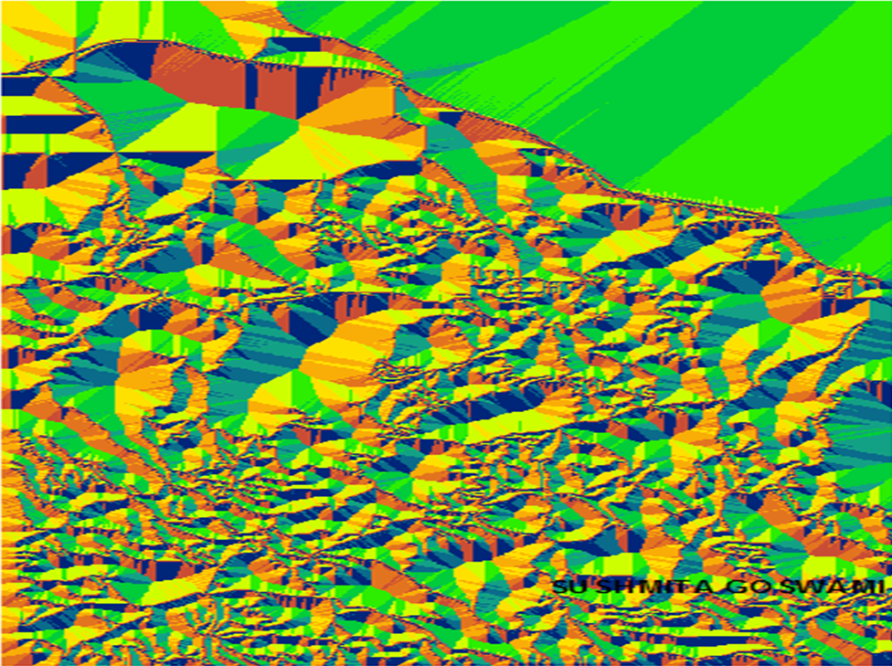
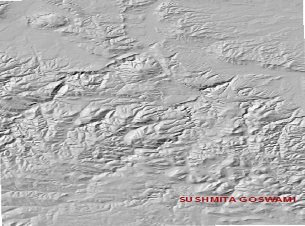
Map 25.) hillshd30m
Map 26.) towerview-
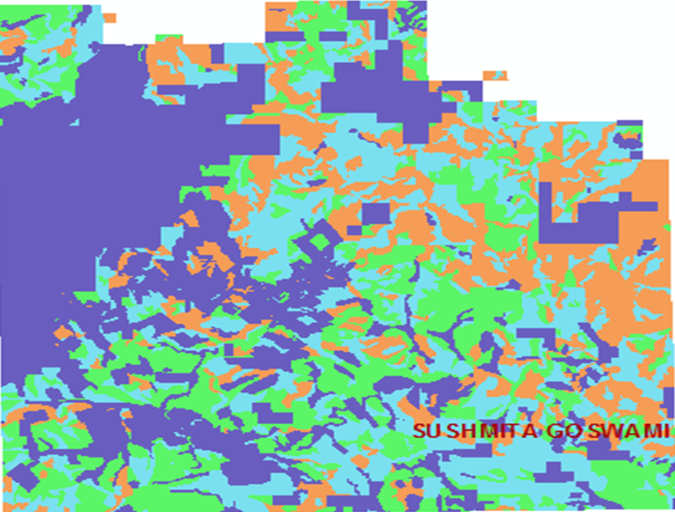
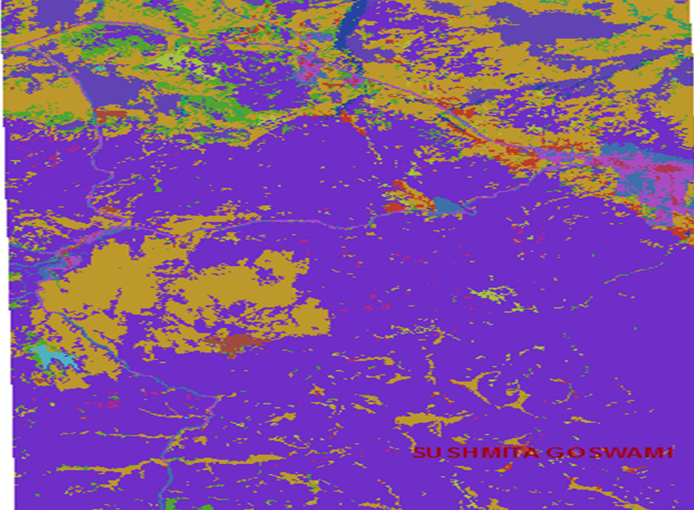
Map 27.) Neighborhood Functions. landcover-
Map 28.) Icvarfoc-
Map 29.) Icvarfocblock-
Map 30.) major5-
Map 31.) major5X2-
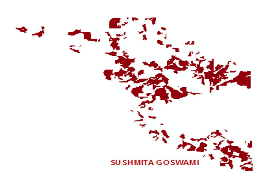
Map 32.) Converting Rasters to features. snailhab-
Map 33.) snailhab2-
Map 34.) landcoverpoly-
Map 35.) snailhab2poly-
Map 36.) towers-
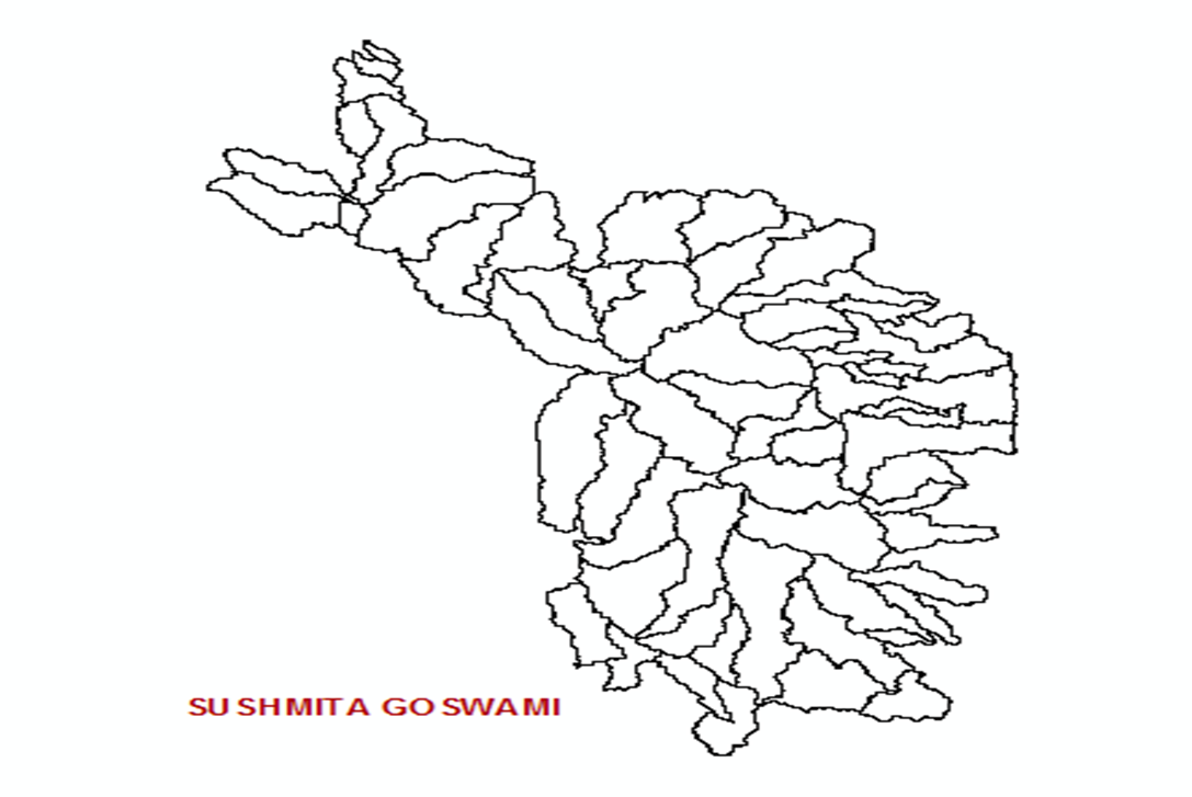
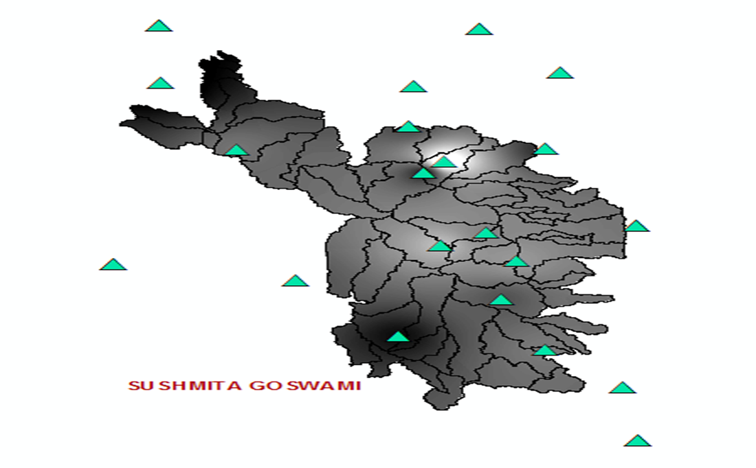
Map 37.) Interpolation and zonal statistics. Watershed-
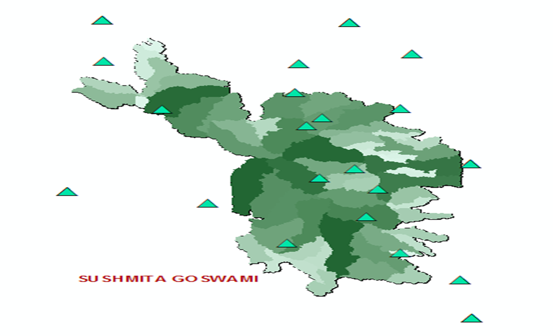
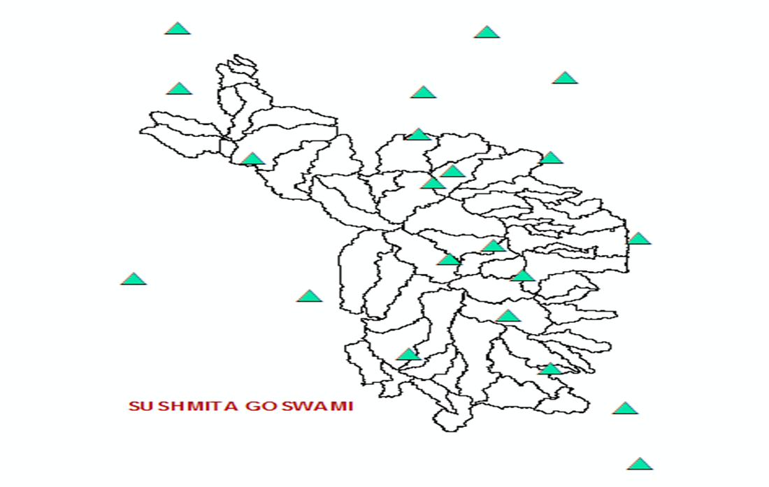
Map 38.) climate stations-
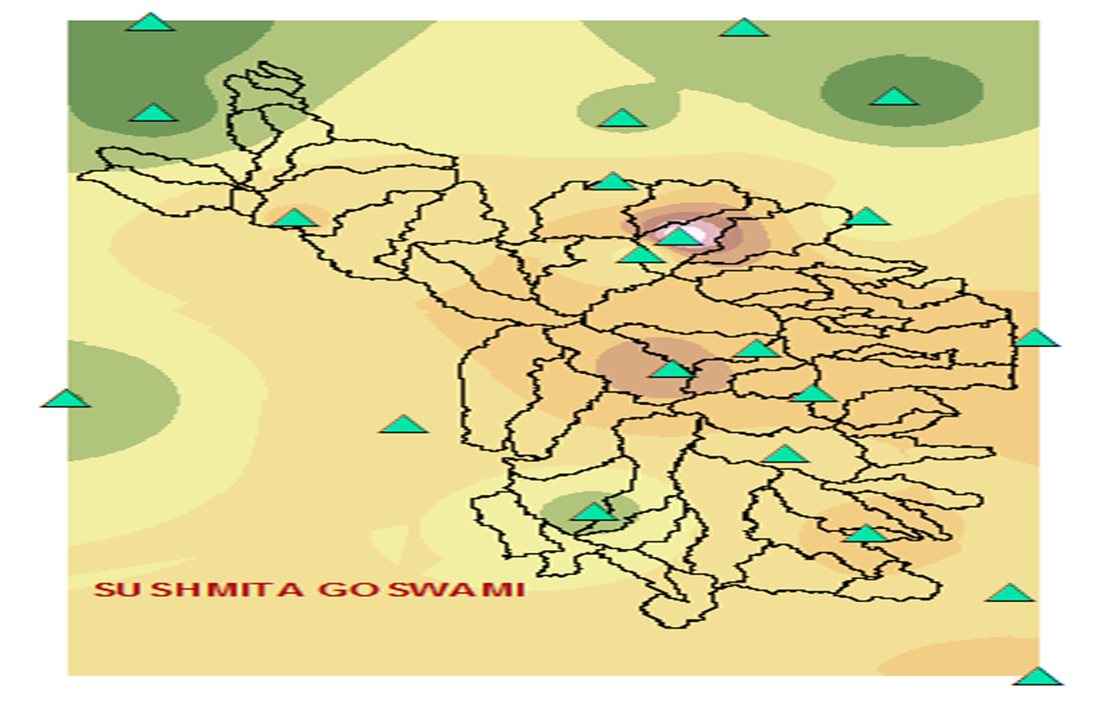
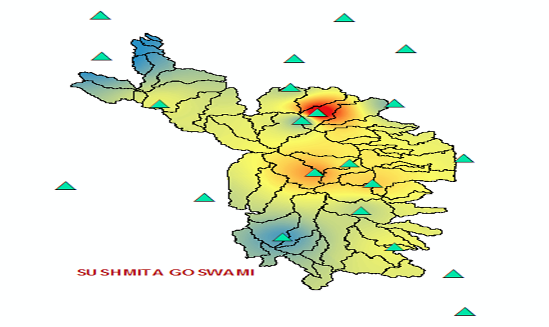
Map 39.) annprecipcm-
Map 40.) Precipitation Raster after Extract by Mask- precipmask-
Map 41.) precipvol-
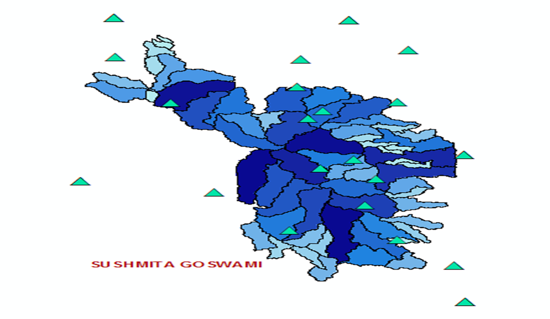
Map 42.) Map showing volume of water in each watershed. shedvolume-
Map 43.) shedvoltable-